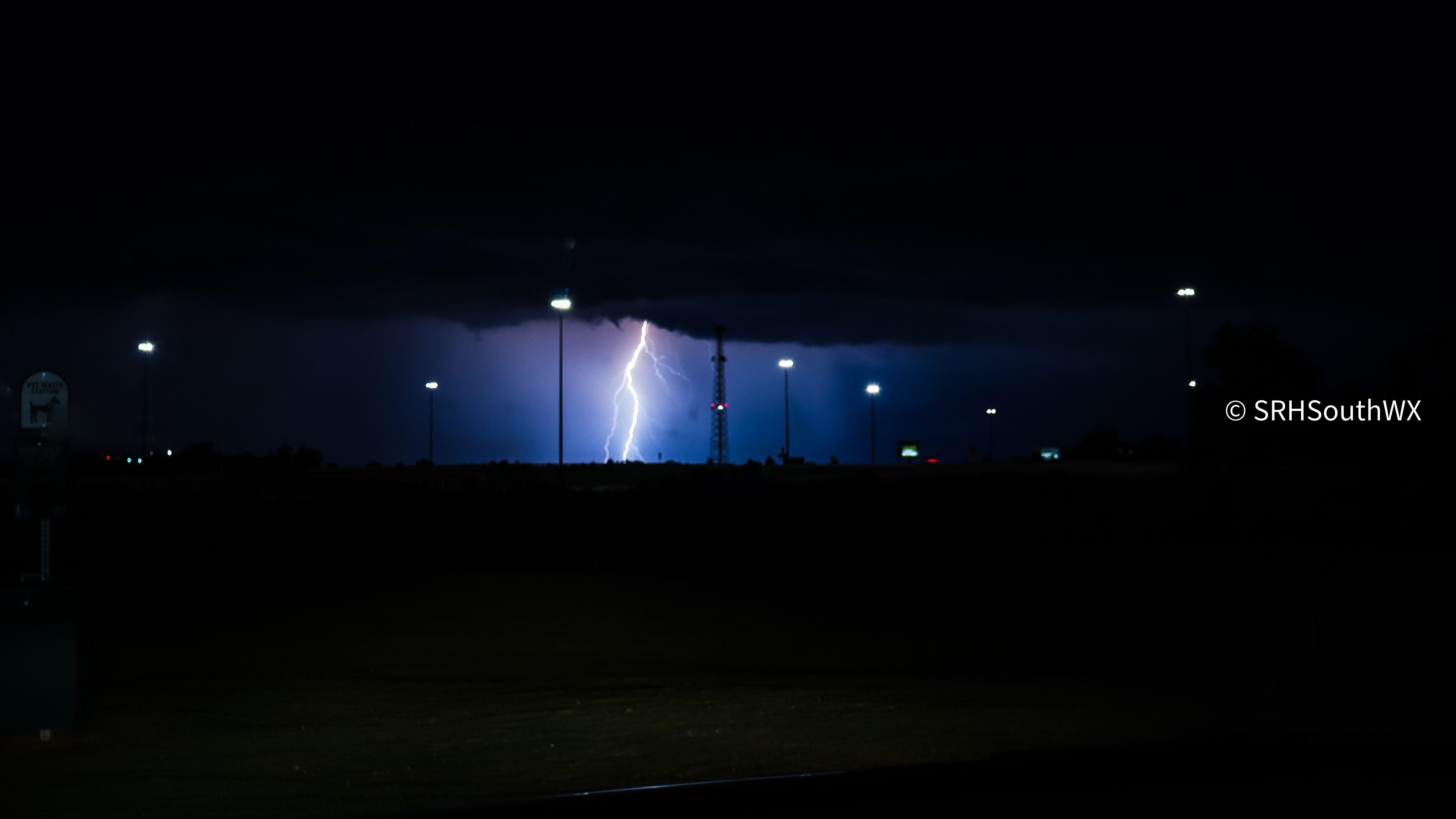
June 25, 2025 - Auburn, Alabama
This was a very warm day and a setup with 6,000 J/kg CAPE, but little to no wind shear. Didn't travel far, only about 15 minutes. I made it to the Auburn Buc-ee's when I realized how much lightning was going on to my south. Pulled over and captured many photos of this lightning. Headed home and captured a 30 sec timelapse of it in the process. I counted 12 lightning bolts in the 3 seconds of timelapse!
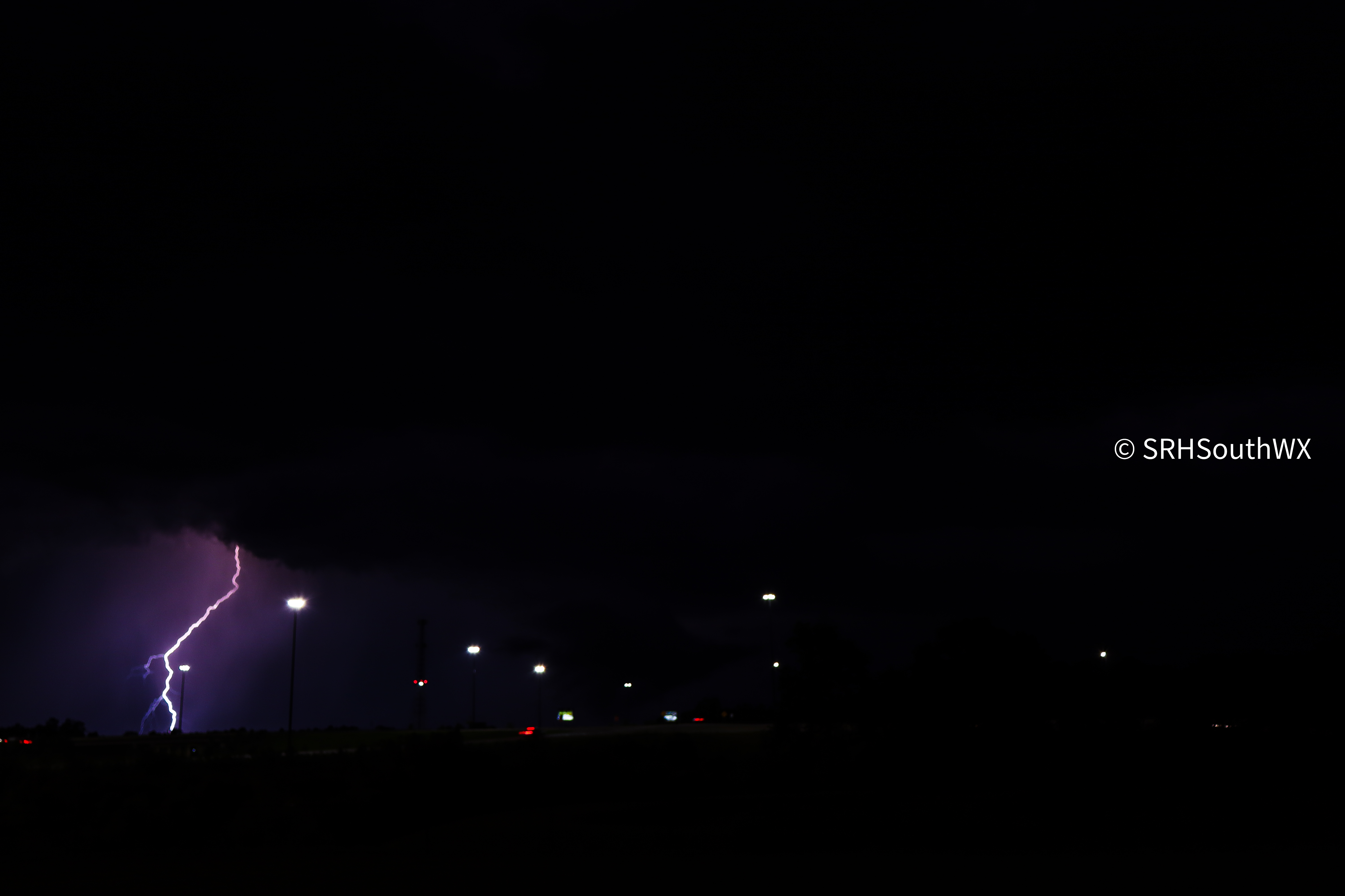
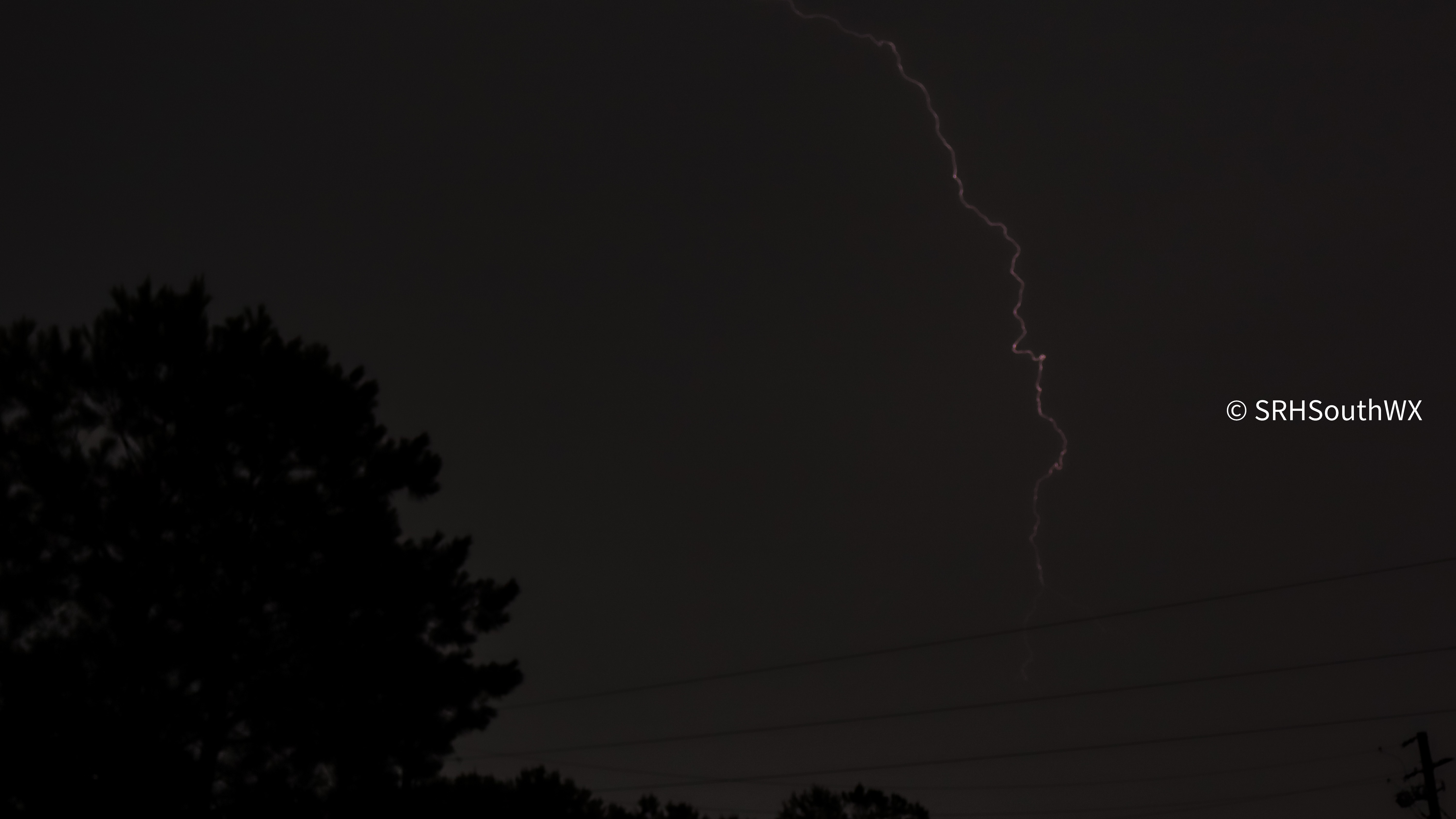
June 13, 2025 - Valley, AL (Thomas)
Saw a strong storm move through Valley, AL. Frequent CG lightning lead to me capturing a lightning strike on camera! The core of the storm had gusts of 50-60mph, and it was a moderate-cape, low-shear, low-SRH set up. Structure was messy but there was some low level inflow.
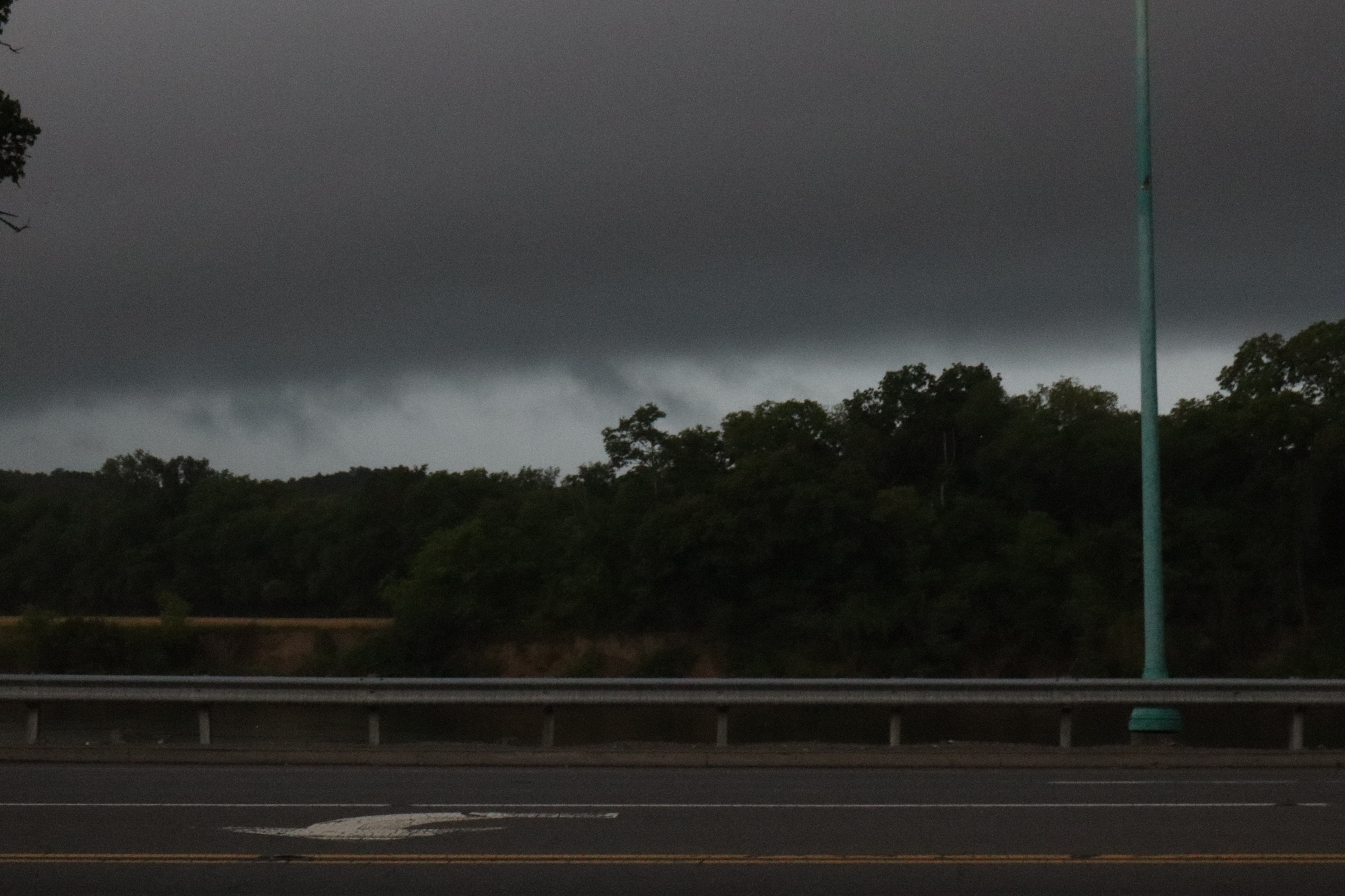
June 6, 2025- Clarksville, TN (Thomas)
I was chasing a 5% Tornado Risk day in Tennessee, and just as I was about to give up after a QLCS moved through, I noticed a supercell forming to the south of the QLCS. I booked it south into Dickson, TN where I intercepted it. The supercell had a strong mesocyclone with it and a solid hook. Multiple times a couplet was noted on base velocity, and the radar flagged a TVS. The supercell never recieved a tornado warning, but did end up dropping an EF0 rated tornado after dark. 800 miles driven in total.
May 20th, 2025-New Albany,MS-Huntsville, AL (Thomas)
This was during a multi-day tornado outbreak. The setup included an MLCAPE of 2000-3000J/kg across the region, bulk shear of 40-50kts, and a SRH greater than 150. The SPC issued a 10% hatched risk area for most of northern Alabama, northern Mississippi, and most of Tennessee. My inital staging area was Corinth, Mississippi. After an hour of staging, I noticed a supercell over oxford that was looking promising, and was easily accessable. I intercepted the storm in New Albany, Mississippi, where I pulled over to take a picutre of the base of the supercell. I check on Reed Timmer's Livestream and notice that he is in the same town. I then look at the road behind me and notice none other than Dominator 3 driving by me. I go to catch up with it. After about 20 minutes of following Dominator 3 we had made it to Booneville, Mississippi, where I notice a tight couplet is forming on base velocity. I fall back from dominator and about 5 minutes later a tornado warning is issued. I look up and notice a low, rotating base with scud following an updraft. A wall cloud was above me. I end up following this storm all the way to Huntsville, Alabama. I got behind it in Decatur due to traffic, but could see the wall cloud from a distance. Reed and his team on Dominator 3 ended up intercepting an EF2 tornado in Athens.

Follow SRH South WX on Social Media!